Paddlecraft Rentals

Rent Canoes, Kayaks, and Stand Up Paddleboards
PRPC is the best stocked paddling center servicing the Manistee River. We rent a wide variety of canoes, kayaks, and stand up paddleboards.
View our paddlecraft page for detailed information on the various paddlecraft options!
Manistee River Facts

A National Wild and Scenic River
Spring fed with long stretches of undeveloped forestland and clear, clean water, the Manistee River is included in the National Wild and Scenic River System. Gifted with a moderate current, occasional light riffles, and a very stable flow, the river is a favorite with Scout Troops, Youth Groups, and family groups.
Manistee River Maps

Put In / Take Out Points and Float Times
With multiple put-in and take-out locations, and an endless supply of clean and well maintained paddlecraft, PRPC offers the best service at the best value!
Start planning your trip today! Need help? Give us a call at 231-862-3471.
Media

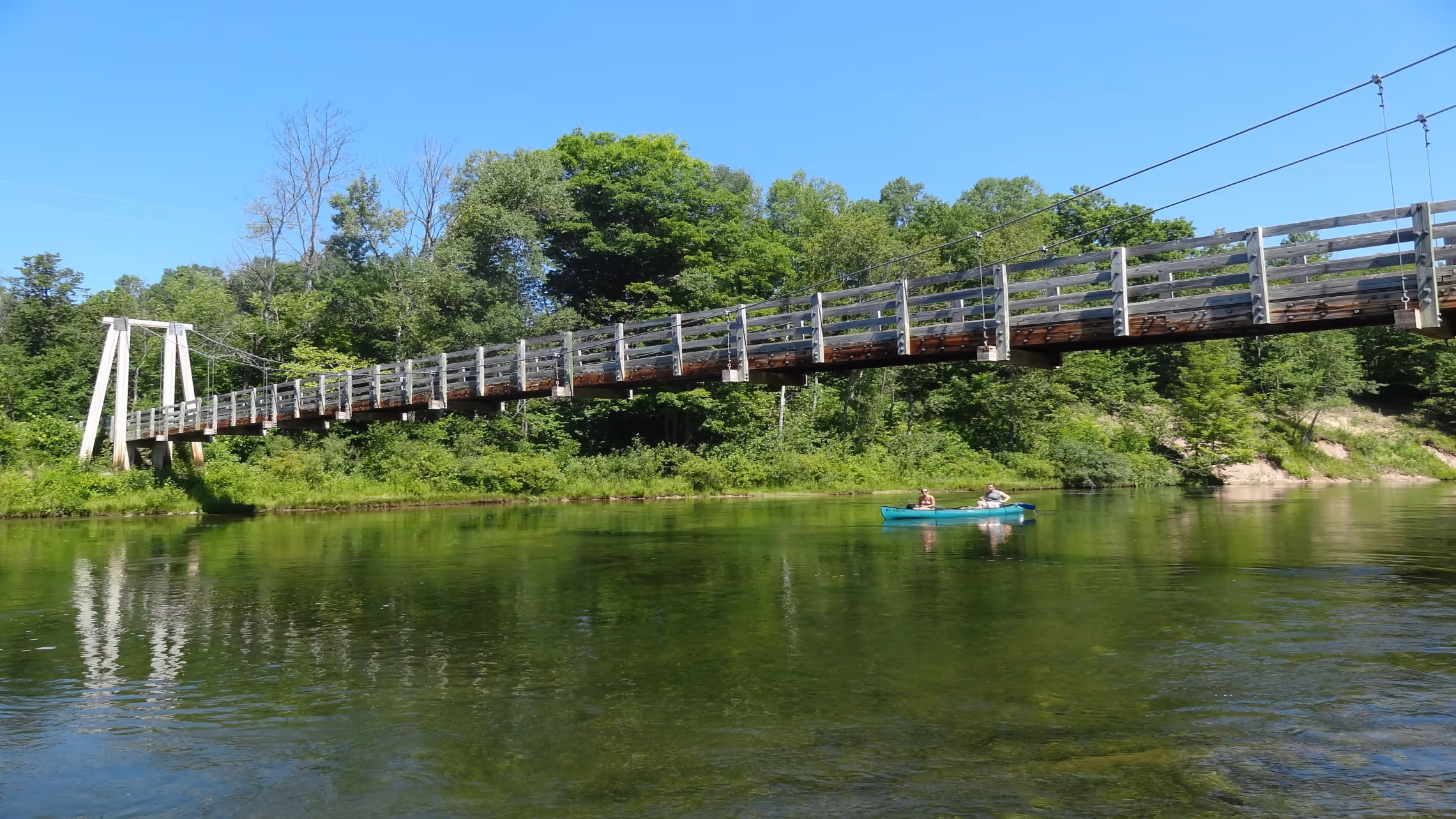
Photos of the Manistee
Explore the Manistee River through photos and get a sense of the beauty of the flora and fauna, wildlife, and nature we cherish and love to share!
Manistee River Vitals
The navigable portion of the river from Deward to Lake Michigan is 166 miles. The gradient is approximately 4 feet per mile. Average depth varies from 1 foot to 4 feet depending on the section of river, and the annual average flow is 1,122 cubic feet per second.
Manistee River Natural History
The Pleistocene Glaciers that advanced and retreated over this portion of Michigan's Lower Peninsula are responsible for the porous nature of the glacial outwash evident throughout the river valley. Meltwaters pouring off the ice sheet began shaping the valley through which the present day Manistee River runs. For thousands of years since the big melt, the river and force of nature have constantly, albeit slowly, carved out the ever-changing water trail that is the paddler's paradise of today.
Human History on the Manistee
Called Manistee by early Native Americans, the word has many documented translations including “the river at whose mouth are islands”, “river with white trees along the banks”, and “the place between the trees”.
The Manistee River watershed was inhabited and controlled by the “Three Fires” Indians : the Potowatami, Ottawa, and Chippewa tribes of the Algonquin Nation. Largely nomadic, these tribes summered on rivers to the south such as the Grand, the White, and the Muskegon, but always returned to winter on the Manistee River.
Indian burial mounds, village locations, and campsites have been found dating from 8,000 B.C. to 500 A.D. There are over 380 archaeological sites identified in the Manistee's watershed.